Shop Drone LiDAR Cameras
Drone LiDAR cameras provide precise 3D mapping for industries like agriculture, forestry, and urban planning, offering high accuracy and efficiency in surveying.
-
GreenValley LiGrip H300 Handheld Laser Scanning
Regular price $32,800.00Regular priceUnit price / per -
GreenValley LiAirX3-H Airborne Laser Scanning
Regular price $9,200.00Regular priceUnit price / per -
GreenValley LiAir H800 UAV LiDAR System
Regular price $59,980.00Regular priceUnit price / per -
GreenValley LiAir X3C-H Compact UAV LiDAR System
Regular price $15,800.00Regular priceUnit price / per -
DJI Zenmuse L2
Regular price From $21,530.00Regular priceUnit price / per
LiDAR Cameras for Drones: Precision Mapping and Surveying Payloads At DroneFly
Explore LiDAR systems for professionals across various industries, including agriculture, archaeology, forestry, and urban planning, used to gather detailed geographical data.
What is a LiDAR camera for drones?
LiDAR, which stands for Light Detection and Ranging, is a remote sensing method used to examine the surface of the Earth. LiDAR cameras for drones are specialized payloads that emit laser beams towards the ground. These lasers then bounce back to the sensor, providing precise measurements of distance.
This technology allows drone LiDAR systems to create highly accurate 3D models of the terrain, buildings, forests, and other features on the Earth's surface.
Advantages of LiDAR cameras for drones
Drone LiDAR technology offers several benefits over traditional surveying methods and other aerial imaging technologies. Some of these advantages include:
- High precision and accuracy: LiDAR drones systems can capture detailed topographic data with remarkable accuracy, even in dense vegetation— from analyzing terrain and tree structures to flood modeling..
- Efficient data collection: Traditional ground-based survey techniques can take days or even weeks to cover what drone LiDAR can survey in a few hours., increasing efficiency and reducing the time spent in the field.
- Versatility: Capable of penetrating through vegetation, LiDAR provides data both on the ground surface and the canopy structure, making it invaluable for forestry and environmental studies.
- Accessibility: Drones equipped with LiDAR can access hazardous environments like steep mountain regions, forests reeling from wildfire, or contaminated areas without risk to human surveyors.
Featured Series: Zenmuse LiDAR cameras for drones
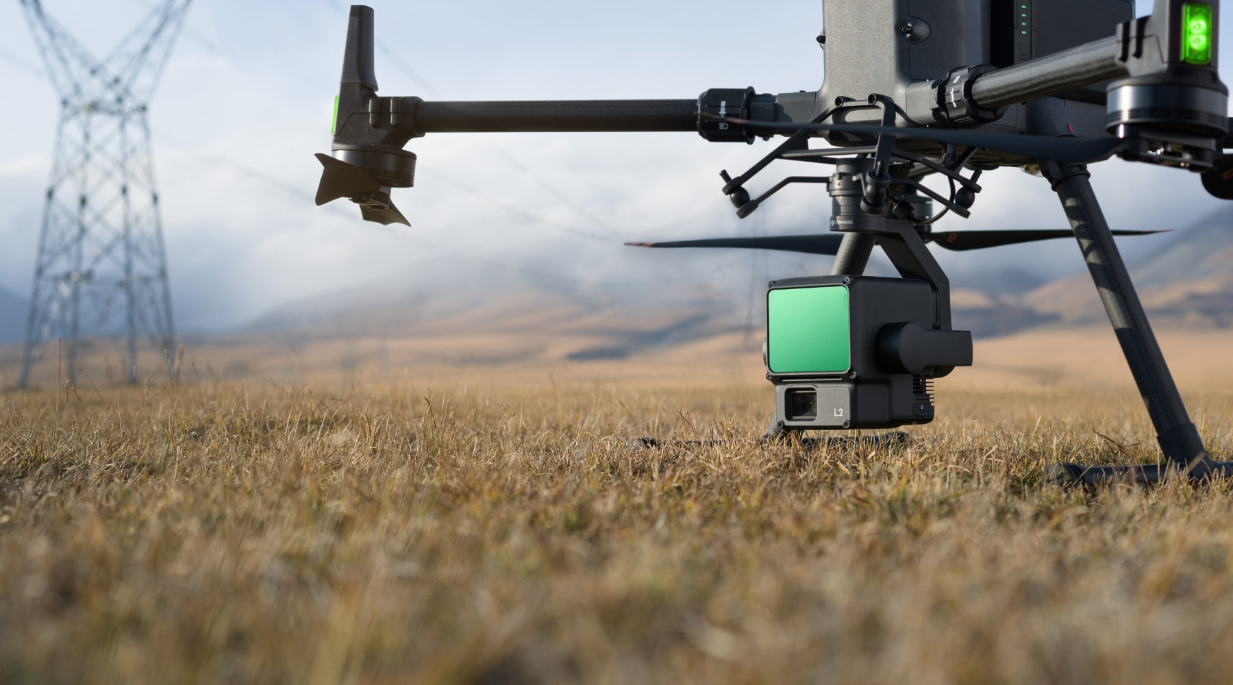
One standout example of a drone LiDAR camera payload is the Zenmuse L2. This advanced payload combines LiDAR technology with a high-precision RGB camera, allowing users to capture detailed 3D point clouds along with photographic imagery. This combination enhances the usability of the collected data, providing both quantitative and qualitative insights.
The Zenmuse L2 is designed for seamless integration with various drone models, offering a plug-and-play solution for professionals seeking to leverage the power of drone LiDAR technology.
Guide to Choosing the Right Drone LiDAR System
Selecting the appropriate drone LiDAR system depends on several factors, including:
- Assess the Size of the Survey Area: Larger survey areas may require drones with longer flight times and LiDAR units with wider scanning capabilities.
- Determine the Required Level of Detail: Identify the resolution and accuracy necessary for your project's success. High precision requires a LiDAR system with greater point density and advanced sensors.
- Check Drone and LiDAR Compatibility: Ensure that the drone you intend to use can support the LiDAR payload in terms of weight, size, and power consumption. Compatibility is essential for optimal performance and safety during operations.
- Ease of Data Processing: Look for LiDAR systems that offer user-friendly software and manageable data formats. Simplifying data processing can save time and reduce the need for specialized technical expertise.
LiDAR Solutions For Precision Mapping and Surveying from DroneFly
Whether you're involved in agriculture, construction, environmental research, or any field requiring precise topographic information, we have a wide range of LiDAR camera payloads available for you to find your right fit.
Contact us today on 1(805) 480-4033 or sales@Dronefly.com to learn more about how our drone LiDAR can benefit your operations.


